


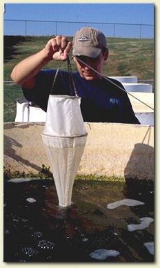
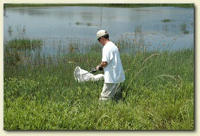


Research
Sites
Sites
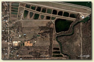
Eagle Mountain Hatchery Experimental Pond Facility
Copyright 2020 Matt Chumchal
Texas Christian University
2800 S. University Dr.
Fort Worth, Texas 76129
Texas Christian University
2800 S. University Dr.
Fort Worth, Texas 76129
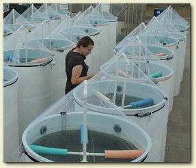
TCU Experimental Mesocosm Facility
The pond have been used for extramurally funded research projects supported by the
National Science Foundation and US Army Corps of Engineers. Several master and
undergraduate students have completed their thesis research at the pond facility.
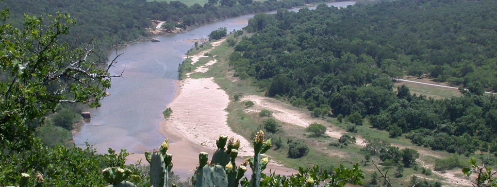
Lyndon B Johnson National Grassland, Decatur, Texas
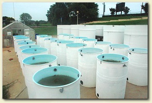
TCU's experimental mesocosm facility was built on the TCU campus in 1987. It consists of twelve
5,000-liter and twenty five 500-liter fiberglass tanks and a greenhouse. For most experiments water
is supplied from a nearby campus pond but experiments have also utlized water transported by large
tanker trucks from reservoirs up to three hours from Fort Worth. The mesocosms are aerially
colonized by invertebrates and can be stocked with fish.
The mesocosms have been used for extramurally funded research projects supported by the National Science Foundation, Tarrant Regional Water District, FMC, and NextEra Energy Resources. Several master and undergraduate students have completed their thesis research at the mesocosm facility.
The mesocosms have been used for extramurally funded research projects supported by the National Science Foundation, Tarrant Regional Water District, FMC, and NextEra Energy Resources. Several master and undergraduate students have completed their thesis research at the mesocosm facility.
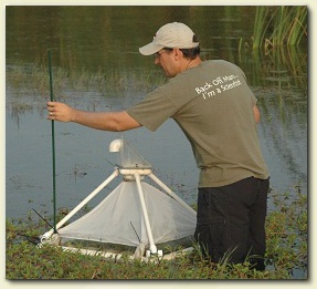
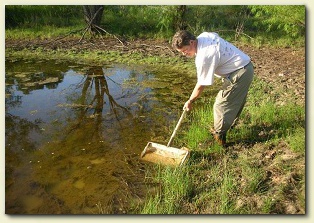
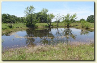
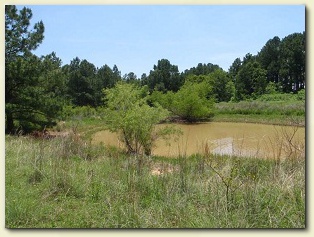
The 8,000-ha LBJ National Grassland is 1 hour north of TCU and is composed of non-contiguous management units managed for
livestock grazing and wildlife. As part of a plan to prevent soil erosion, the United States Department of Agriculture constructed
numerous earthen dams, primarily in the mid-to-late 1970s. The dams created 100s of small ponds, most of which are less than 2,000
square meters in surface area. Many of the ponds on the grassland go dry periodically and are devoid of fish allowing studies on the
effects of fish on aquatic communities. Three TCU students have conducted their thesis research at the LBJ Grassland.
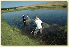
TCU has leased the Eagle Mountain Fish Hatchery
from the Tarrant Regional Water District since
1990. The Hatchery consists of 30 ponds supplied
with water from Eagle Mountain Lake, a large
eutrophic reservoir. Ponds are shallow with an
average depth of 1.5 meters and average surface
area of 0.4 hectares. The ponds have sediment
bottoms and are colonized by a large number of
aquatic plants. Ponds can be stocked with any
combination of fish species and fish will reproduce
in ponds. Ponds can be drained to harvest fish.
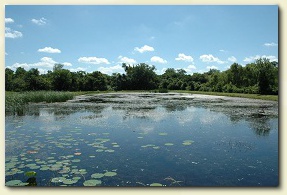
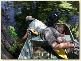
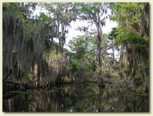
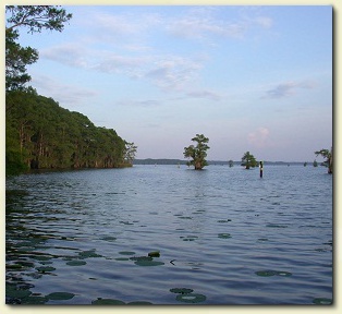
Caddo Lake, Uncertain, Texas
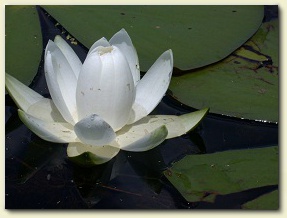
Caddo Lake and its associated wetlands cover approximately 10,850 hectares and are
composed of cypress swamps, marshes, bottomland hardwood forests, grasslands, and
pine forests, much of which remain in a relatively undisturbed condition. The western
portion of the lake is shallow (many areas < 1 m) and characterized by wetland habitat
dominated by bald cypress and water elm, and other aquatic vegetation. In contrast,
the eastern portion of the lake is comprised primarily of open water habitat with an
average depth of 1.4 meters. Fish from Caddo Lake contain some of the highest
mercury concentrations recorded in Texas, and elevated mercury concentrations
have also been documented in reptiles, birds and mammals. Fish and invertebrates in
the western portion of the lake contain higher concentrations of mercury than those in
the eastern portion of the lake. Mercury contamination in Caddo Lake is of particular
concern because the lake supports high biodiversity, including rare and threatened
species which may be negatively impacted by mercury exposure.
We work in a variety of experimental systems and aquatic ecosystems including lakes, rivers,
wetlands, and the Gulf of Mexico. Some of our most utilized reserach sites are described below.